Battle Lines: A Graphic History of the Civil War
- By Jonathan Fetter-Vorm and Ari Kelman
- Hardcover: 214 pages
- This item is not eligible for discounts unless explicitly mentioned in promotional offers
-
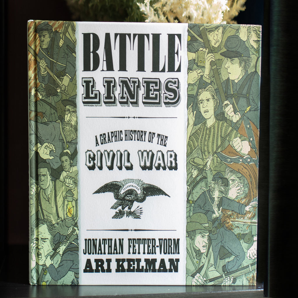
Featuring breathtaking panoramas and revelatory, unforgettable images, Battle Lines is a monumental graphic history of the Civil War. A collaboration between award-winning historian Ari Kelman and acclaimed graphic novelist Jonathan Fetter-Vorm, Battle Lines showcases a variety of objects from the conflict (a tattered American flag from Fort Sumter, a pair of opera glasses, a bullet, an inkwell, among others), along with a cast of soldiers, farmers, slaves, and well-known figures, to trace an ambitious narrative that extends from the early rumblings of secession to the dark years of Reconstruction. Employing a bold graphic form to illuminate the complex history of this period, Kelman and Fetter-Vorm take the reader from the barren farms of the home front all the way to the front lines of an infantry charge. A daring presentation of the war that nearly tore America apart, Battle Lines is a beautiful, uncompromising, poignant, and incredibly original achievement.
-
The National Archives' cartographic section contains approximately 8,000 Civil War maps, including both manuscript and printed maps and plans. The manuscript maps include pencil sketches and original pen-and-ink drawings as well as processed maps with annotations in ink or pencil. Many of the Civil War manuscript maps and drawings are unique to the National Archives, while a variety of the printed maps are more common and can be found in other large repositories such as the Library of Congress.